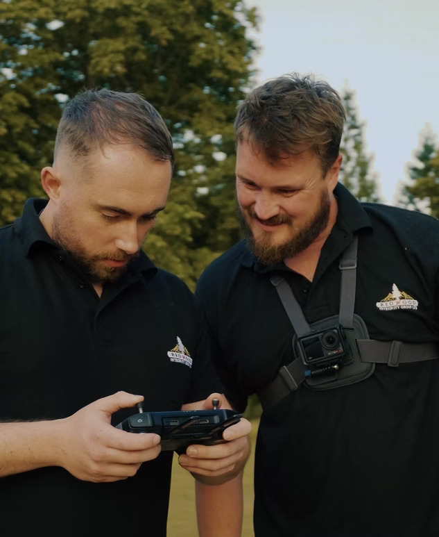
Images from Redwood Integrity Group Ltd -- DATE OF ATTRIBUTION: 06/10/2026

    Home

    Learn About Redwood Integrity Group Ltd

    Redwood Integrity Group Ltd provides specialist Ecology Services alongside drone surveys, aerial mapping and environmental survey support. Our technology can help capture detailed information across habitats, buildings, land and difficult-to-access locations, providing valuable evidence for ecological assessments and environmental projects.

    Working across Greater London and Cambridgeshire, we support biodiversity habitat surveys, wildlife conservation projects, thermal surveys and site inspections. Our wider capabilities include aerial photography, photogrammetry, 3D mapping, land surveying and topographic survey support, allowing us to capture detailed information across a range of sites.

    Our Services

    Biodiversity Habitat Surveys Greater London

    Our biodiversity habitat surveys use aerial technology to help record and assess habitats across development sites, natural environments and other areas of ecological interest. Drone surveys can provide detailed imagery and mapping across larger or difficult-to-access locations, supporting ecological assessments, habitat monitoring and informed environmental decision-making.

    Wildlife and Thermal Surveys Greater London

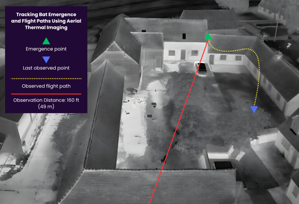
    Thermal surveys can support wildlife monitoring by identifying heat signatures that may otherwise be difficult to locate using visual methods alone. When combined with drone surveys and aerial photography, thermal technology provides additional information for ecology professionals working on wildlife conservation, habitat assessments and environmental projects.

    Drone Surveys and Aerial Mapping Greater London

    Drone surveys provide detailed aerial information for ecology and environmental consultancy projects. Services can include aerial mapping, site inspections, aerial photography, 3D mapping and photogrammetry. These technologies help document sites efficiently while providing useful visual and spatial information for ecological assessments, land management and project planning.

    Home

    Learn About Our Services

    Our ecology survey support combines modern aerial technology with detailed data collection to provide useful information about habitats, wildlife and environmental conditions. Each project can be planned around the characteristics of the site and the information required, helping ecology professionals gather relevant evidence efficiently.

    Drone surveys, thermal imaging, aerial photography and mapping can provide valuable perspectives that complement ground-based ecological assessments. Our focus is on delivering clear, practical survey information that supports biodiversity monitoring, wildlife conservation, environmental planning and responsible decision-making.

    Frequently Asked Questions

    Our services can support biodiversity habitat surveys, ecological assessments, wildlife monitoring, thermal surveys, aerial mapping and environmental projects using drone-based data collection and imaging.

    Drones can capture detailed aerial imagery across habitats and sites, helping ecology professionals assess areas that may be large, difficult to access or sensitive to disturbance.

    Thermal imaging can identify temperature differences and heat signatures that may assist with wildlife detection and monitoring. It can be used alongside visual surveys and other ecological assessment methods.

    Yes. Drone surveys and aerial mapping can provide useful habitat and site information for development projects, helping ecology and environmental professionals document existing conditions and monitor changes.

    Aerial mapping provides an overview of habitats, vegetation, land features and site conditions. It can support ecological assessments, habitat monitoring, conservation projects and environmental planning.

    Yes. Redwood Integrity Group Ltd can support projects in Greater London and Cambridgeshire, with survey services tailored to the requirements and conditions of individual sites.